
INNOVATION
Real-time kinematic (RTK)
A breakthrough advancement in GPS accuracy, RTK has transformed the power of positioning technology.
What is RTK?
RTK is a positioning technique that solves accuracy, motion, and timing challenges, enabling satellite positioning systems to deliver highly precise location information.
Created roughly three decades ago, RTK has far surpassed the dreams of its pioneers – among them, the Trimble leaders integral to its development. By correcting common inaccuracies in real time, RTK unleashed new possibilities for the use of positioning technology to revolutionize the way we work across countless industries including construction, agriculture, transportation and utilities.
Achieve precise positioning in real time.
Ensure the accuracy of positioning data within centimeters.
Increase productivity with precise corrections to satellite-based positions while you work.
A tough problem to solve
RTK was created to solve GPS surveying problems, ensuring location measurements are always on point. But it’s evolved to become so much more.


Birth of a utility
Today, RTK is a utility that powers workflows and technologies used every day — from faster surveying to finely-tuned machine control.

RTK applications
The precision and speed offered by RTK enhances positioning technologies and sets the foundation for a diverse set of applications.

Geospatial solutions

Positioning services

Machine control

Robotics
How Trimble helped pioneer this game-changing technology
As part of an open, collaborative effort, Trimble leaders, along with engineers and scientists from the public, private, and academic sectors, worked together to develop commercial RTK systems.
In anticipation of the need for a solution that evolved beyond GNSS, Trimble played a central role in advancing the capabilities of RTK technology.
Significant milestones in RTK development
RTK MILESTONES
1993
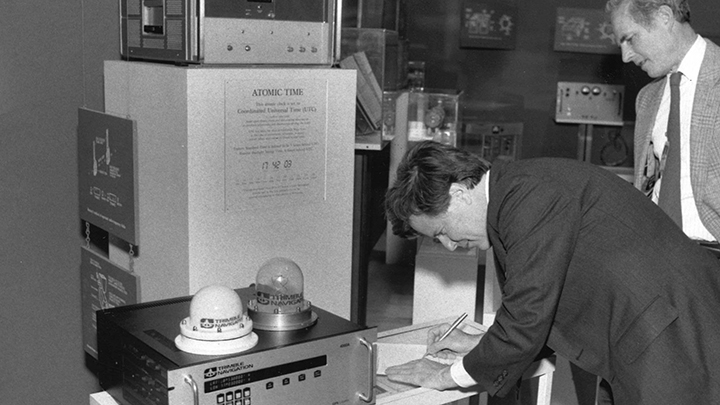
Early in the year, Trimble releases its first commercial RTK product, the Site Surveyor system, which was sold to the U.S. Forest Service. A few months later, Trimble adds on-the-fly (OTF) capabilities and testing to its RTK product.
RTK MILESTONES
1994
In March, Trimble releases its first commercial RTK receiver with on-the-fly (OTF) capabilities at the International Federation of Surveyors (FIG) conference in Melbourne, Australia. Later in the year, Trimble lays out its “Centimeters everywhere for everyone” vision, which serves as its guiding principle for innovating positioning technology.

RTK MILESTONES
1995
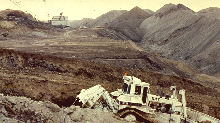
Trimble partners with Caterpillar to create blade-mounted GNSS equipment for bulldozers, allowing for the highest levels of accuracy.
RTK MILESTONES
2000
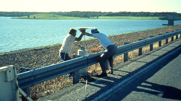
In May, Trimble acquires Spectra Precision, which comes with geodesy/mathematics expertise and a software development team from its subsidiary, Terrasat. Terrasat pioneered Virtual Reference Station (VRS) networks, which corrects most satellite orbit and clock errors, plus atmospheric errors across the network.
RTK MILESTONES
2011
The Trimble RTX correction service begins to take shape. RTX is delivered via satellite and internet and is available in rural and urban environments.

RTK MILESTONES
2016
Trimble Catalyst becomes one of the first commercially available software-defined GNSS systems with RTK. Catalyst requires only a 300-gram (less than one pound) antenna and a smartphone.

CASE STUDY
Improving accuracy for autonomous technology
Stan is a fully autonomous valet robot. RTK enables it to move vehicles from outside to inside and park them with high-precision navigational accuracy.
CASE STUDY
Saving time on remote pipeline projects
Atwell, a Michigan-based construction firm, was challenged with performing GNSS corrections on a remote, long-corridor project. Next-gen positioning services enabled them to save an hour each day.